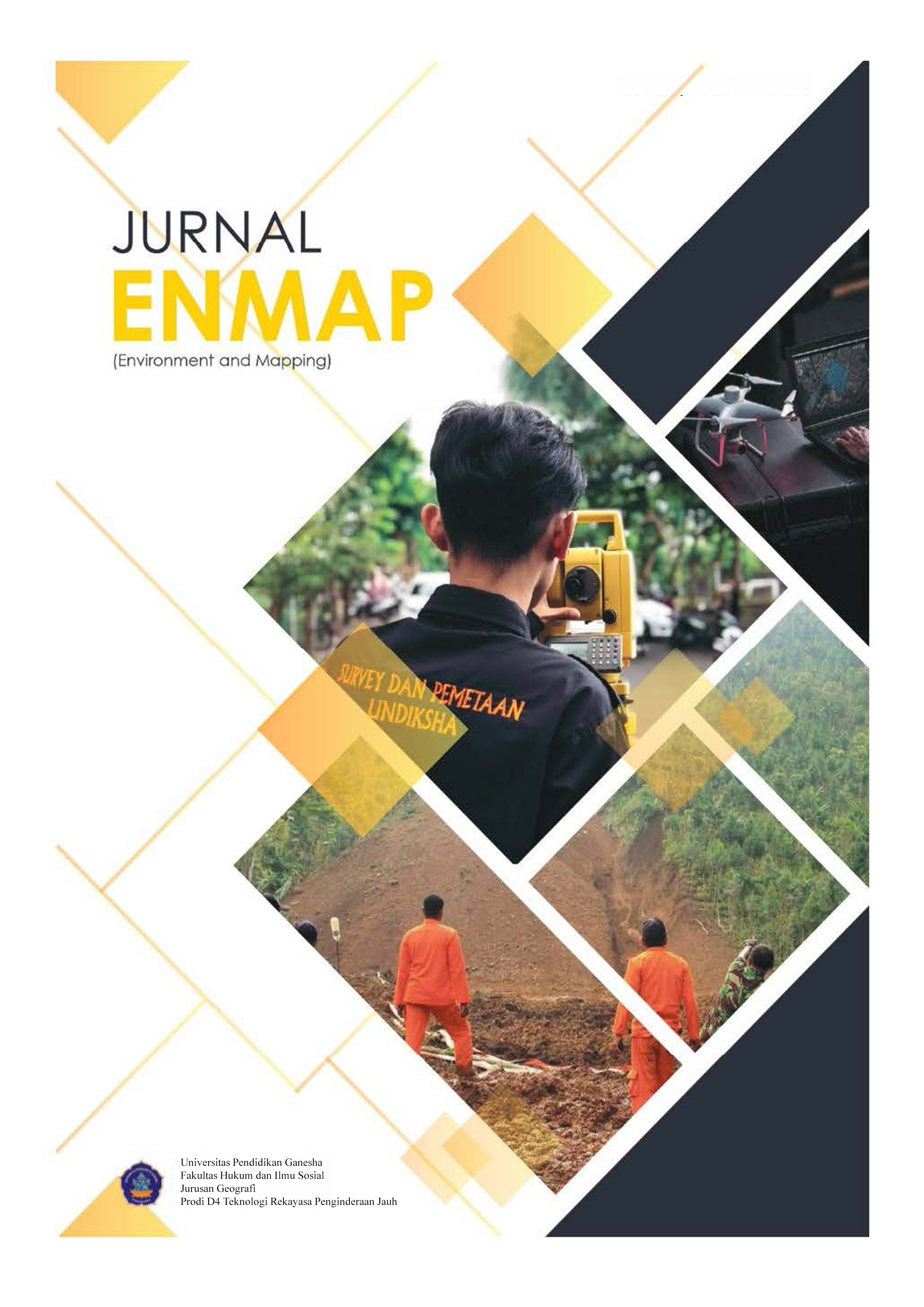
Pemetaan Situasi Lingkungan dengan Total Station di Kampus Universitas Pendidikan Ganesha di Jinengdalem
DOI:
https://doi.org/10.23887/enmap.v4i1.62010Keywords:
Bowditch, Pemetaan Situasi, Polygon tertutup, Total StationAbstract
The land surface is part of the space whose existence is limited, therefore it is necessary to use the land surface in a planned and controlled manner. Judging from this, a situation mapping will be carried out which includes measuring Infrastructure and Topography Measurements in the Ganesha Education University campus environment in Bali Province, Buleleng District, Buleleng Regency. more detailed mapping will require more sophisticated technology, namely mapping using a Total Station (TS) tool. The purpose of this study is to map the UNDIKSHA campus environment in Jinengdalem Village with the resulting output in the form of a situation map and to find out how the process of making a new bm uses RTK. The method in this study is the data collection carried out in this study, namely by making direct measurements in the field using a TS tool with a closed polygon terrestrial measurement method. The results of this study are in the form of a map of the environmental situation, a topographic map, and the results of the accuracy calculation correction
References
Adi, W. T., & Aghastya, A. (2017). Penggunaan Total Station Dan Autocad Civil 3d Untuk Perencanaan Grading. Jurnal Perkeretaapian Indonesia, 1(2), 149–159. DOI: https://doi.org/10.37367/jpi.v1i2.41
Engineering, E. (2006). Liu Jian 1 , 2 Deng Yunfeng 1, 2. 1(1), 43–50.
Fikri, M. A. (2019). Pengembangan Jobsheet Poligon Tertutup Dengan Menggunakan Alat Theodolit Pada Mata Kuliah Pengukuran Pemetaan Situasi Dan Praktikum Di Jurusan Teknik Sipil Ft Unesa. Jurnal Kajian Pendidikan Teknik Bangunan, 5(2), 35–40.
Hadi, I. W., & Sumbersari, K. (N.D.). Kajian Ketelitian Hasil Pengukuran Menggunakan Low Cost Gnss Dan Gps Geodetik Menggunakan Metode Ppp Online. 2.
Koordinat, P., & Tertutup, P. (N.D.). The Process Count And Stage A Series Of Meridians On The Work Of Geodetic Data Processing ( Mapping ). The Process Is Expected To Have Rigorous Criteria , Fast , And Easy , Both In Data Entry , Calculation , Data Repair , And Printing The Results . . Pack With Microsoft Exel Provides Easiness That Required By A Process Of Calculation . This Package Can Be Used For Data Entry , Calculation , And The Improvement Of Data At Once In One Worksheet , With A Format That Can Be Customized . Likewise , If Desired , Printing The Results Can Be Obtained From The Worksheet . In This Paper Are Presented The Way We Use Exel Spreadsheets To Count How Bowditch Closed Polygon Coordinates . 8192, 1–8.
Lesawengen, V. F., Jansen, F., & Manoppo, F. J. (2019). Minimalisasi Kesalahan Survey Topografi Dalam Pemetaan Digital Dengan Koordinat Global Menggunakan Autocad Land Desktop Dan Geographic Information System. 7(1), 127–136.
Natar, K. E. C., & Lampung, K. A. B. (N.D.). No Title. 1000.
Novriza, Ferdiansyah, Agusmaniza, R. (2020). Pemetaan Topografi Menggunakan Total Station Pada Komplek Sekolah Terpadu Teuku Umar Aceh Barat. Vocatech: Vocational Education And Technology Journal, 2(1), 41–48. Https://Doi.Org/10.38038/Vocatech.V2i1.42 DOI: https://doi.org/10.38038/vocatech.v2i1.42
Rinaldy, -, & Hidayat, R. T. (2018). Pemetaan Eksterior Gedung 3 Dimensi (3d) Menggunakan Electronic Total Station (Ets). Reka Geomatika, 2016(1), 34–41. Https://Doi.Org/10.26760/Jrg.V2016i1.1836
Safrudin, M. (2009). Program Diploma Iv Pertanahan Sekolah Tinggi Pertanahan Nasional.
Santoso, T. T. Dan D. P. (N.D.) (2014). Validasi Handout Pengukuran Poligon Tertutup Menggunakan Alat Total Station Di Jurusan Teknik Sipil Fakultas Teknik Universitas Negeri Surabaya Toni Triyo Santoso Si Pendidikan Teknik Bangunan Fakultas Teknik Universitas Negeri Surabaya Didiek Purwadi Dos.
Share Its. (2014). Pengenalan Macam-Macam Pengukuran Situasi. 2014. Http://Share.Its.Ac.Id/
Stpn. (2019). Modul 6 Poligon Tertutup. 1, 93–107.
Suhendra, A. (2011). Studi Perbandingan Hasil Pengukuran Alat Teodolit Digital Dan Manual: Studi Kasus Pemetaan Situasi Kampus Kijang. Comtech: Computer, Mathematics And Engineering Applications, 2(2), 1013. Https://Doi.Org/10.21512/Comtech.V2i2.2851 DOI: https://doi.org/10.21512/comtech.v2i2.2851
Teknik, T. I. M. F., Yogyakarta, U. N., Pendidikan, D., Kejuruan, M., Jenderal, D., Dasar, P., Menengah, D. A. N., & Nasional, D. P. (2001). Pemetaan Situasi.
Topografi, P., Metode, D., Sinergy, P. T., & Hijau, N. (2022). Poligon Tertutup Menggunakan Program Surfer 15 Di Areal Operasi Produksi. 1(2)
Additional Files
Published
How to Cite
Issue
Section
License
Copyright (c) 2023 I Gusti Putu Adi Susila, I Gst Ngr Yoga Jayantara

This work is licensed under a Creative Commons Attribution-ShareAlike 4.0 International License.
Authors who publish with the Jurnal ENMAP agree to the following terms:
- Authors retain copyright and grant the journal the right of first publication with the work simultaneously licensed under a Creative Commons Attribution License (CC BY-SA 4.0) that allows others to share the work with an acknowledgment of the work's authorship and initial publication in this journal.
- Authors are able to enter into separate, additional contractual arrangements for the non-exclusive distribution of the journal's published version of the work (e.g., post it to an institutional repository or publish it in a book), with an acknowledgment of its initial publication in this journal.
- Authors are permitted and encouraged to post their work online (e.g., in institutional repositories or on their website) prior to and during the submission process, as it can lead to productive exchanges, as well as earlier and greater citation of published work. (See The Effect of Open Access)


